
Fantasy map making software for gamers and authors!
Fractal World Explorer
 Fractal World Explorer is a free add-on program that comes with Fractal Mapper. FWE is a powerful world editor that lets you generate and edit incredible 3d shaded relief maps!
FWE not only allows you to edit elevations, but precipitation, and temperature as well. FWE uses 'real world' measurements for incredible, realistic results. Watch deserts appear when precipitation drops, and ice and snow when the temperature drops! For added realism, apply water or wind erosion to your world. Get elevations, temperatures, and average precipitations at all points simply by passing the mouse cursor over the desired spot.
Best of all, Fractal World Explorer is free with the purchase of Fractal Mapper! It will be included on your installation file.
 Some of Fractal World Explorer's Features:
- Randomly generate worlds, or create them from scratch.
- True 'spherical' terrain generation for realistic planetary terrains.
- Edit elevation, precipitation, and temperature.
- Uses 'real world' principles to enhance realism.
- Display your world in an interactive globe.
- Water and Wind erosion processes.
- Watershed calculation.
- PNG, Bitmap and JPEG export support.
- Able to import raw binary elevation data and grayscale bitmaps ('bump maps').
- Exports to binary files for use in terrain visualization programs.
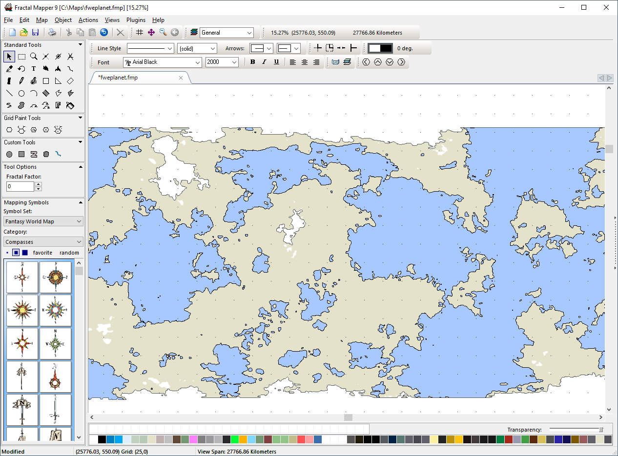
- Create Fractal Mapper maps from your world!
